Mike & H&S Companies
Third Battalion, Fifth Marines
Veterans of the Vietnam War
|
Mike & H&S Companies
Third Battalion, Fifth Marines Veterans of the Vietnam War
|
|
Vietnam Now
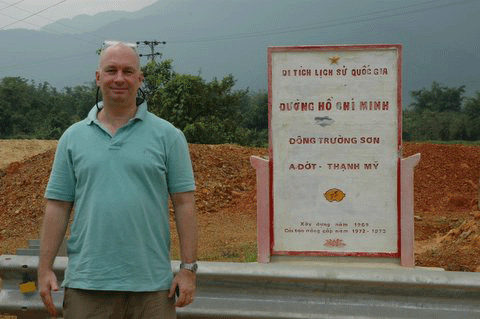
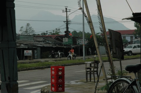
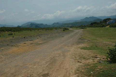
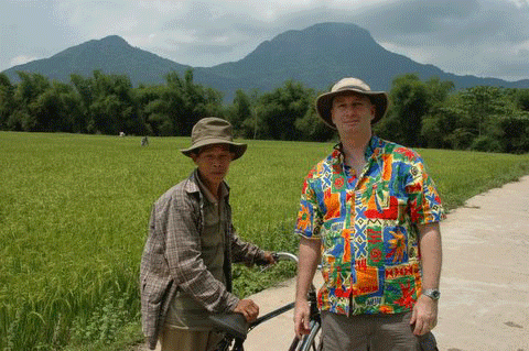
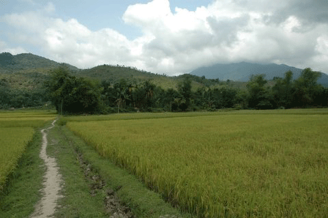
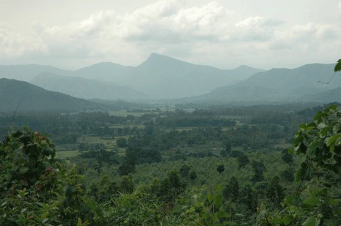
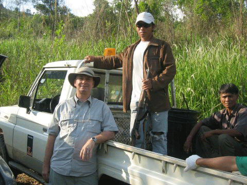
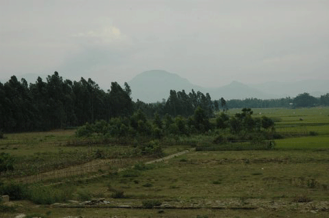
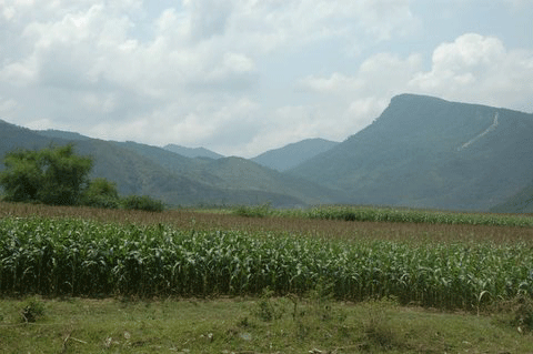
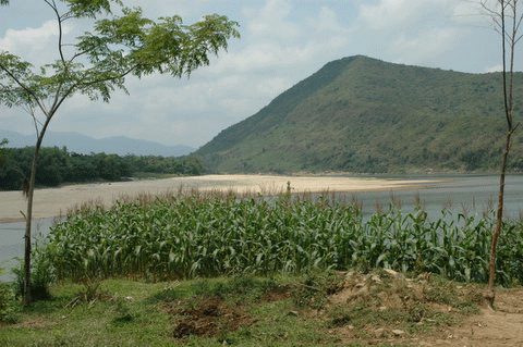
These are a number of pictures from Mark Daniels, who works in Thailand and does business and makes numerous trips to Vietnam. Over the years he's made more than 40 visits in-country, many with returning vets. With research and help he's located many of the areas in Vietnam where U.S. conducted Operations and had significant contact with the enemy, plus firebases and AOs. An amateur photographer he's graciously sharing these with us. All these pictures are thumbnailed, please click to enlarge.
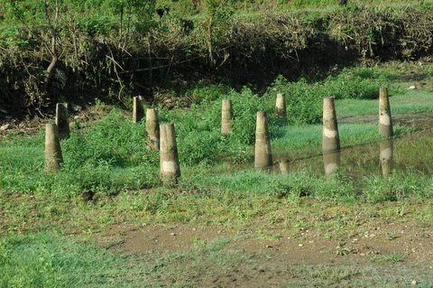
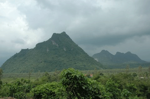
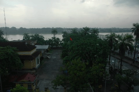
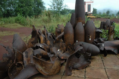
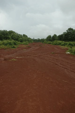
1. Rockpile on Route 9 2. Pearl River in Hue 3. Ordnance at Khe Sanh 4. Lang Vei Special Forces camp....near Laos on Rte 9, past Khe Sanh. 5. Khe Sanh runway
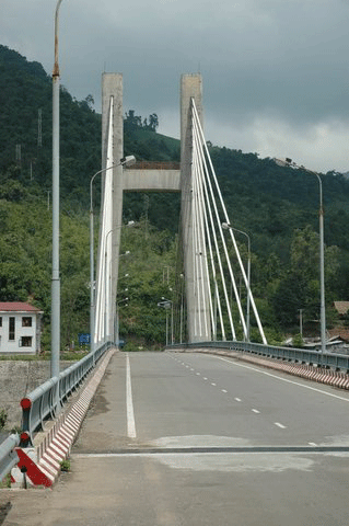
6. Khe Sanh memorial 7. Hill 1015 North Khe Sanh 8. Dakrong Bridge on Rte 9. 9. Co Roc Mountain in Laos (an NVA stronghold). 10. Camp Carroll 175mm Howitzer location.
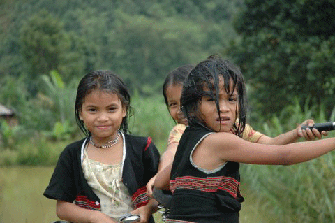
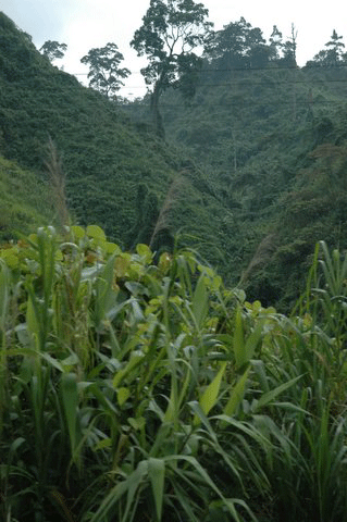
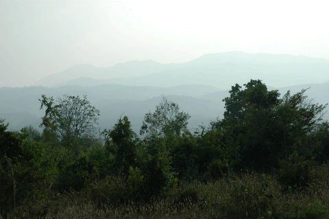
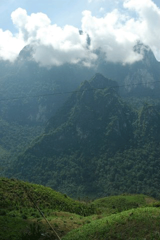
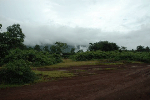
11. A Shau Hill Tribe girls. 12. A Shau Valley Jungle (Mike Kelley's AO...author of Where We Were In Vietnam, a most excellent research book) 13. A Shau Valley at peace 14. Ho Chi Minh trail in the A Shau.
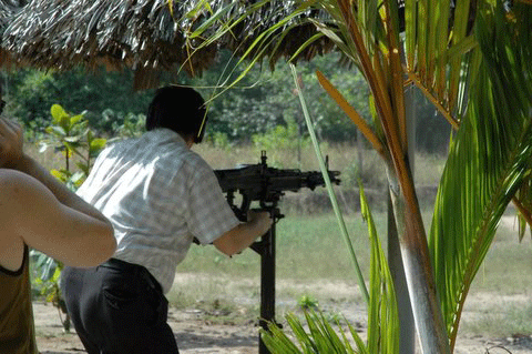
15. Returning Vet at Cu Chi on an M-60 16. Hill 1338 Dak To battle 1967 17. Phu Cat air base at Qui Nhon 18. Future trouble 19. Dak To airfield.
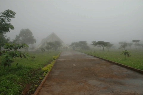
20. Hamburger Hill, Ap Bia mountain 21. Kham Duc Special Forces Airfield
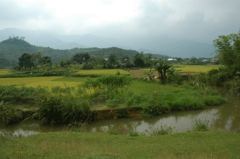
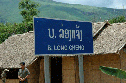
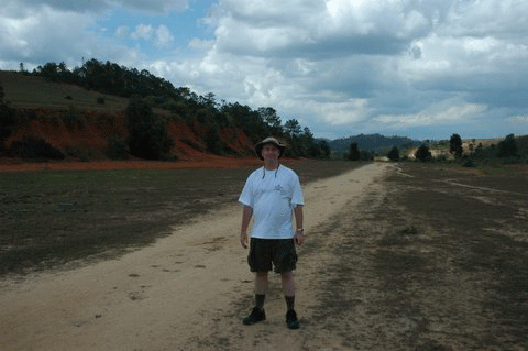
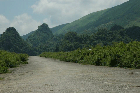
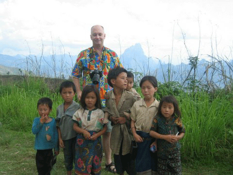
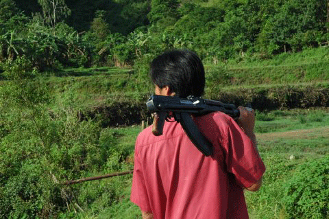
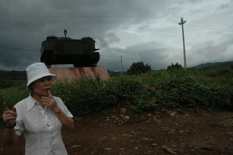
22. Mark Daniels at LZ Raven in 2005 (Operation Essex 1967) 23. In former CAP village near Da Nang. 24. Ap Bon 2 Village locale in 2005. Site of the death of Lt. Robert Warren Miller of Hotel 2/5 on Op. Essex on 6 November 1967. 25. Antenna valley in 2005. The following set of pictures are from a recent trip Mark made to Laos. Here is what he has to say about the trip: These
photos are from a recent trip to northern Laos. I have some close
friends who were involved in the operations there - Air America, Ravens
and USAF. Although a considered a "sideshow", in fact
the unofficial US operations probably saved thousands
of American lives by drawing off several divisions of
NVA trying to maintain the HCM trail and fight the Hmong.
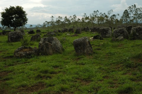
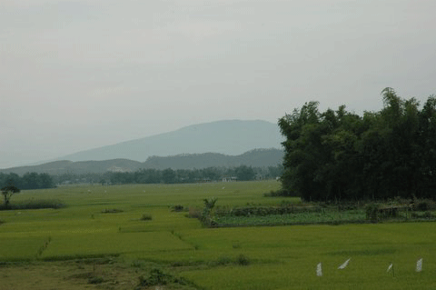
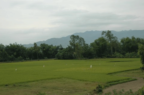
Pictures 35 through 40: Pictures of the
Arizona and the Vu Gia river.
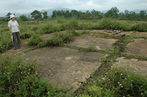
|
.gif)